

Valgrisenche Piste Map
Grab the Valgrisenche ski resort map before you head up to explore this quiet corner of the Valle d'Aosta. The trail map covers 8 runs split between 3 beginner, 3 intermediate and 2 advanced pistes, served by 1 chairlift and 2 drag lifts across an elevation range from 1,630m to 1,810m. It's a small, standalone area perfect for a mellow day away from the crowds.
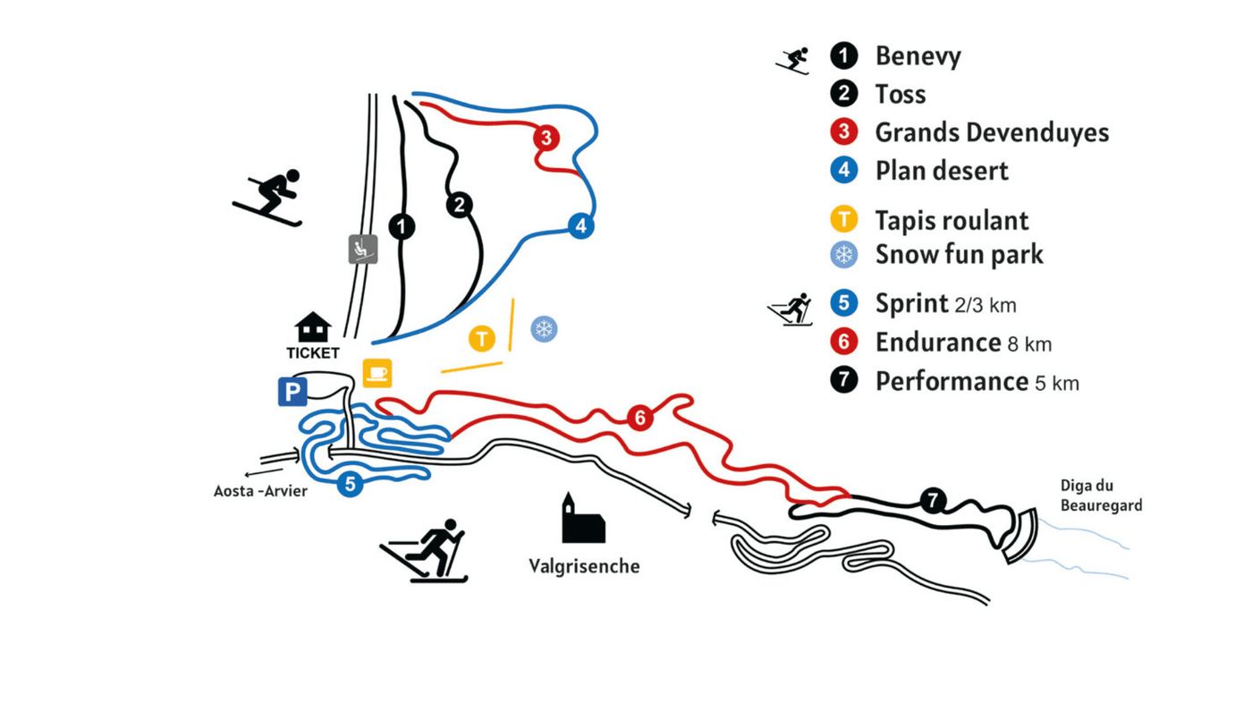
Download the Valgrisenche Piste Map (Image)
Best Runs in Valgrisenche
-
Pista Panoramica (Blue): A long, sweeping cruiser that traverses the mid-mountain area with stunning views across the valley and gentle, confidence-building terrain.
-
Pista Vaudalettaz (Red): A consistently pitched intermediate run dropping from mid-station through open terrain, ideal for carving and building rhythm.
-
Pista Bosco (Red): A tree-lined descent offering some shelter on stormy days and a mix of flowing turns through the forest zone.
-
Pista Cime Bianche (Red): The longest red run in the resort, covering significant vertical with varied pitch and terrain that rewards confident intermediates.
-
Pista Canale (Black): A steep, direct fall-line descent that delivers proper gradient and genuine technical challenge for advanced skiers.
-
Pista Lessert (Blue): A mellow, wide cruiser near the village that's popular with ski schools and brilliant for working on technique without pressure.
-
Pista Bonne (Red): A well-maintained intermediate run with consistent pitch and width, offering reliable conditions for progression and mileage.