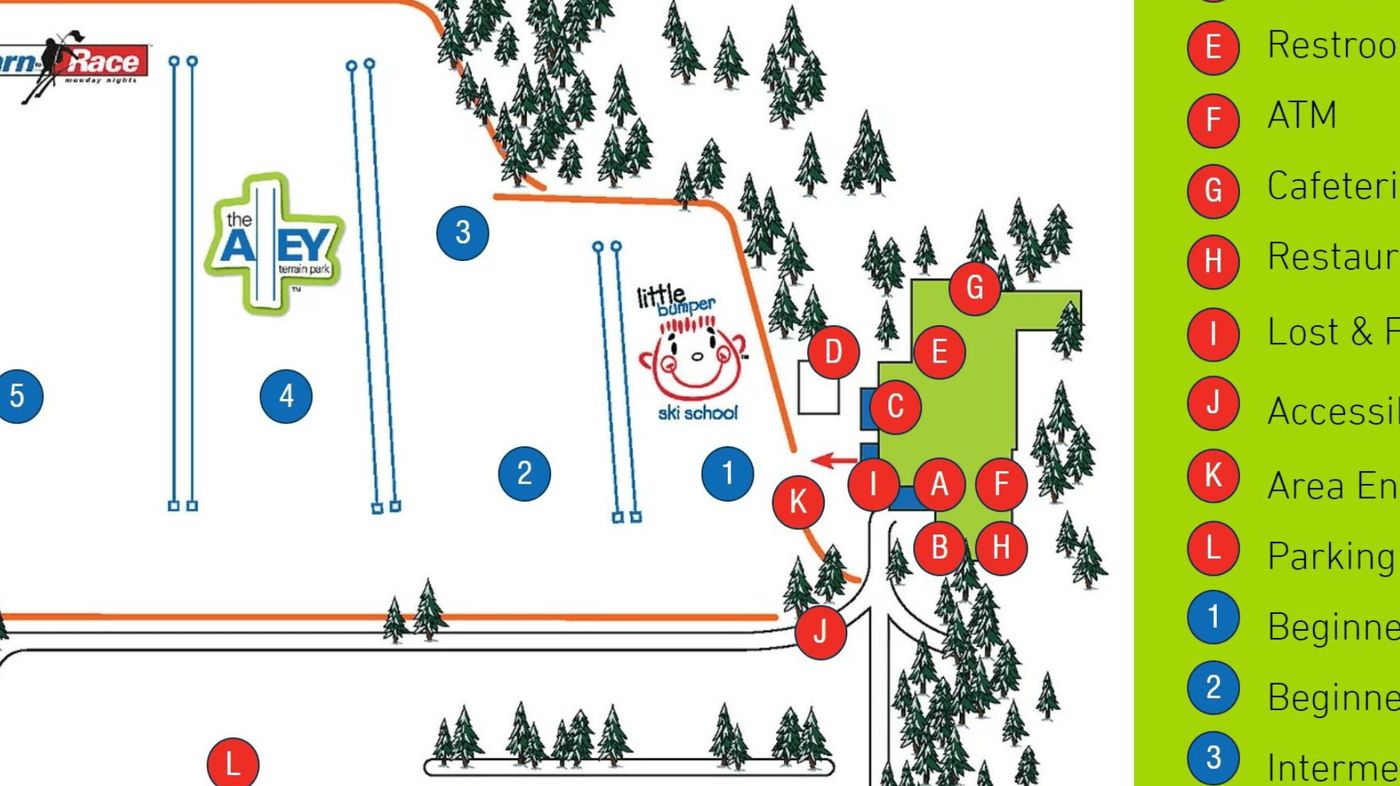
Four Lakes Trail Map
Grab the Four Lakes ski resort map below to get a feel for the layout before you arrive. The trail map shows 7 runs spread across a modest vertical drop of just over 30 metres, from a top elevation of 152 metres down to 122 metres. With no chairlifts or gondolas on site, this is a small local hill perfect for beginners and families looking to get some turns in.
Download the Four Lakes Trail Map (Image)