

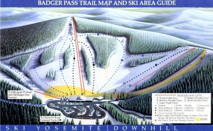
Yosemite Ski & Snowboard Area Trail Map
Check out the Yosemite Ski & Snowboard Area ski resort map below to get a feel for the mountain layout before you head up. The trail map shows 10 runs spread across a compact area, serviced by three chairlifts, with skiing between 2,195m and 2,377m elevation. It's a standalone spot rather than part of a larger linked ski area, offering a straightforward day on the slopes in California's high country.
Download the Yosemite Ski & Snowboard Area Trail Map (Image)
Best Runs in Yosemite Ski & Snowboard Area
-
Loft (Green): A mellow, wide cruiser ideal for first-timers finding their feet on skis or a board.
-
Lower Steamboat (Green): A gentle, rolling run that's perfect for building confidence and practising turns without any intimidating pitches.
-
Upper Frosty (Blue): A scenic intermediate trail winding through tall pines with consistent pitch that's brilliant for linking smooth carves.
-
Lost Bear (Blue): A longer blue run offering varied terrain and enough challenge to keep intermediate riders engaged without being overly demanding.
-
Gun Barrel (Blue): A popular intermediate route with a bit more gradient than most blues, great for pushing your progression.
-
Big Foot (Black): A steep, technical run that demands solid edge control and quick decision-making through tighter terrain.
-
East Bowl (Black): An advanced area offering ungroomed, challenging terrain with natural features and steeper fall lines for confident skiers.
-
Ridge Run (Black): A properly steep expert trail that tests your technique with sustained pitch and occasional moguls when conditions allow.