Etang de Lers Piste Map
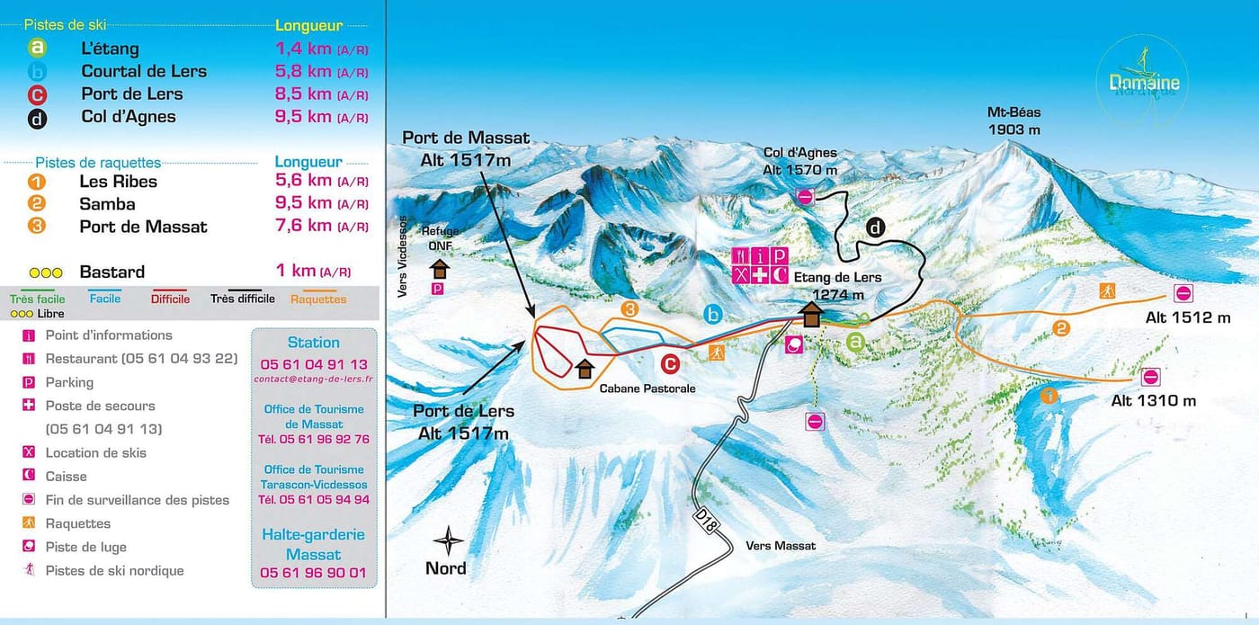
Grab the Etang de Lers ski resort map to get familiar with this compact cross-country spot in the Pyrenees before you head out. The trail map shows four Nordic tracks running between 1300m and 1570m, with one intermediate and one advanced route among the options. There are no lifts here - it's a pure XC skiing area, so you'll be earning your turns the old-fashioned way.
Download the Etang de Lers Piste Map (Image)